Stonehenge

Stonehenge Hidden Landscapes Project
2010-2014
The Stonehenge Hidden Landscapes Project (SHLP) was an international collaboration between the University of Birmingham and the Ludwig Boltzmann Institute for Archaeological Prospection and Virtual Archaeology (LBI ArchPro) and led by Professor Wolfgang Neubauer and Professor Vincent Gaffney (University of Bradford). The project brought together experts in non-invasive geophysical prospection and remote sensing, and specialists in British prehistory and landscape archaeology to carry out one of the most sophisticated single archaeological projects in Europe.
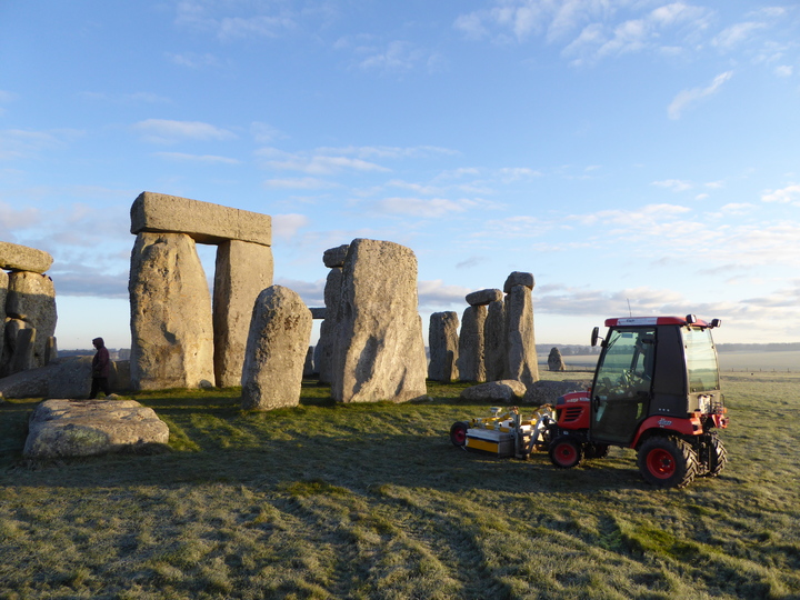
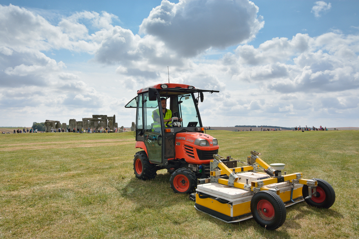
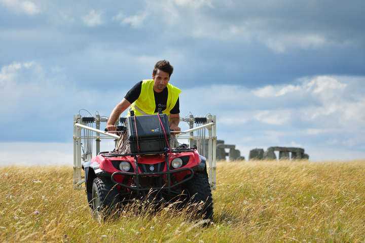
This project aimed to address gaps in our knowledge and understanding of the Stonehenge landscape by conducting a cutting-edge geophysical and remote sensing survey at an unprecedented scale and resolution. Beginning in July 2010, the fieldwork took about 120 days, spread over four years. Cutting-edge geophysical technologies, applied at an unprecedented spatial scale and resolution using multiple motorized magnetometers, ground-penetrating radar arrays, electromagnetic induction sensors, earth resistance surveys and terrestrial 3D laser scanners, have revealed the landscape of Stonehenge through the largest and most detailed archaeological prospection project. New monuments have been revealed, as well as new types of monument that have previously never been seen by archaeologists.
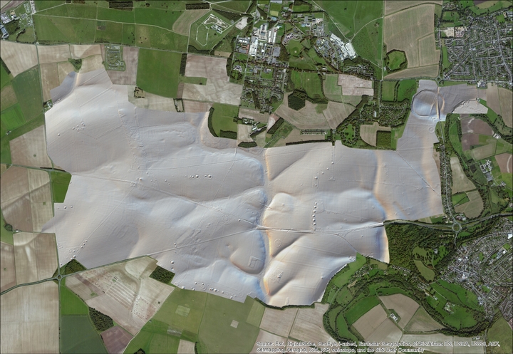
The results of the survey project were used to create a highly detailed archaeological map of the ‘invisible’ landscape, providing the basis for a full interpretative synthesis of all existing remote sensing and geophysical data from the study area. For the first time, it is therefore possible to create total digital models of the Stonehenge landscape at a true ‘landscape scale’ that will not only transcend the immediate surrounds of individual monuments within the study area but will also tie them together within a seamless map of sub-surface and surface archaeological features and structures.
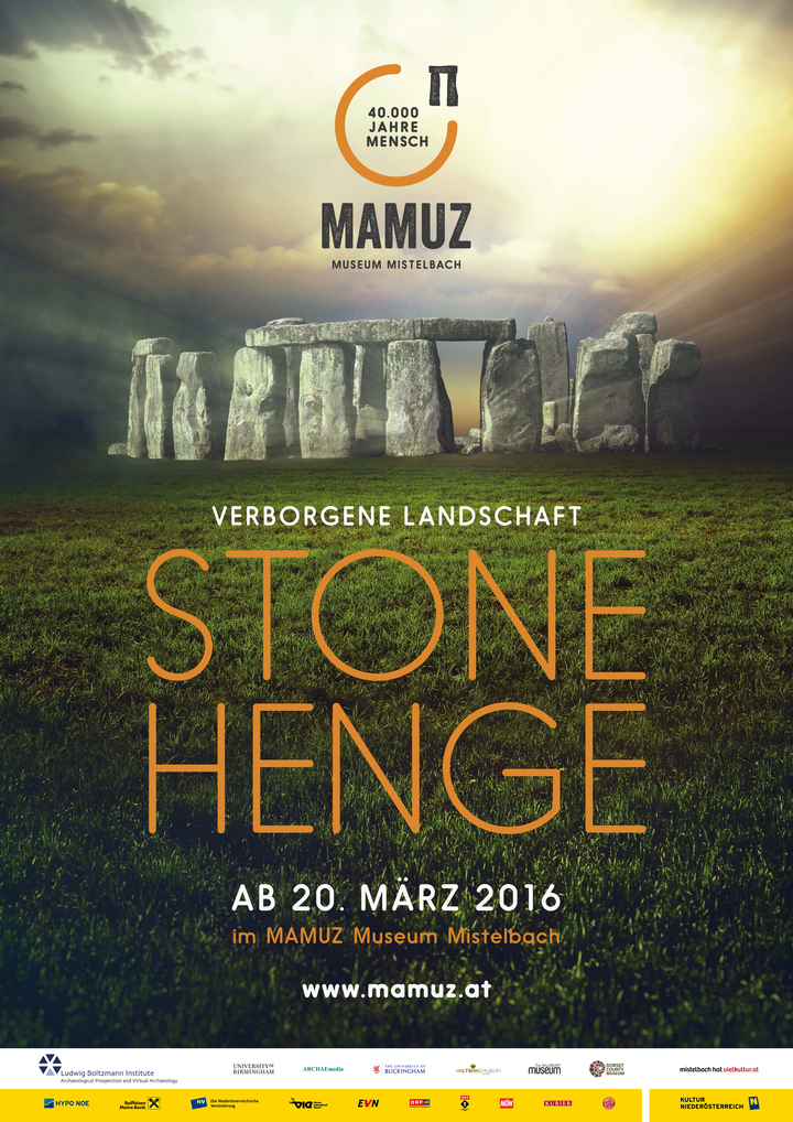
The results of this exceptional project contributed to numerous high-quality dissemination activities such as exhibitions in Great Britain, Austria and Germany and a two-part BBC series that was internationally broadcast in English, German and French versions.
The outstanding geophysical survey and visualization capabilities of the team was made possible only because of the unique expertise and combined resources of the project partners, the Digital Humanities Hub and Department of Classics, Ancient History and Archaeology at the University of Birmingham; the Ludwig Boltzmann Institute for Archaeological Prospection and Virtual Archaeology (LBI Arch Pro) in Vienna and its European partners; the Division of Archaeological, Geographical and Environmental Sciences at the University of Bradford; the Department of Earth Sciences at the University of St Andrews; and the Soil Spatial Inventory Techniques Research Group at the University of Ghent. The project operated under the auspices of the National Trust and English Heritage.
Movie
Images
Links
- Project Website: https://lbi-archpro.org/cs/stonehenge/
Wolfgang Neubauer
Professor of Archaeology
My research interests include Archaeological Stratigraphy, Geophysical Prospection and 3D Laser Scanning.