New digital map reveals stunning hidden archaeology of Stonehenge
(press release 2014)
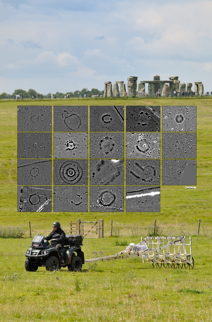
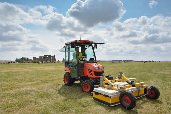
Although Stonehenge is the most iconic of all prehistoric monuments, studied by antiquarians and archaeologists over many centuries, much of this landscape effectively remains terra incognita. The Stonehenge Hidden Landscapes Project has changed this situation dramatically through one of the world's largest-ever terrestrial geophysical projects. Since July 2010, the LBI ArchPro, Austria, and VISTA, University Birmingham, apply cutting-edge geophysical technologies at an unprecedented spatial scale using multiple mobile arrays, revealing the landscape of Stonehenge through the largest, and most detailed digital map of its kind. Covering more than 12 km2 of landscape around Stonehenge this unique map links the world's most famous monument with hundreds of new monuments dating from the Mesolithic to Present.
Exciting new information of well-known monuments could be revealed including Durrington Walls “super-henge”- a contemporary of Stonehenge, situated a short distance from Stonehenge. Probably the largest of its type in the world, it has a circumference of more than 1.5 km. The new survey reveals that the henge was flanked with a row of massive posts or stones that have never been seen previously and which adds another dimension to this enigmatic structure.
The survey has also revealed new types of monuments and new information on hundreds of burial mounds, Bronze Age, Iron Age and Roman settlements and fields at a level of detail never previously seen.
Images


Links
- Project homepage: https://lbi-archpro.org/cs/stonehenge/
Wolfgang Neubauer
Professor of Archaeology
My research interests include Archaeological Stratigraphy, Geophysical Prospection and 3D Laser Scanning.